Hey there!
As a geospatialist, I need geographical data and information for all my mapping projects. Listed below are some of the websites where I get data.
1. Philippine GIS Data Clearinghouse (http://philgis.org/)
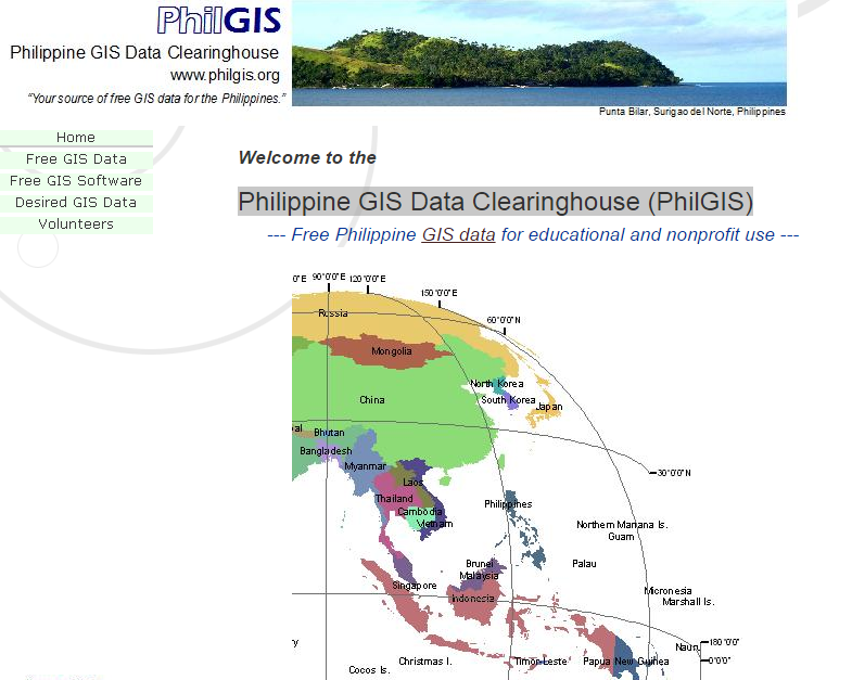
PhilGIS is one valuable source of Philippine datasets. Being maintained by Sir Al Tongco, this website has provided me almost all the needed data, from GADM boundary maps to georeferenced static maps. You can see all the data holdings here.
2. Bureau of Soils and Water Management Maps Portal (http://bswm.maps.da.gov.ph/)
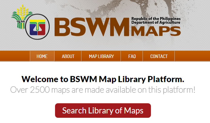
Being a soil scientist myself, this website contains many agricultural maps in the Philippines. Although, I’d like to point out that some of the data provided here don’t have any legends so I really suggest to contact them to help you in sorting out the data. You may reach them through this link.
3. NAMRIA 1:50,000 Topographic Map Index (http://www.namria.gov.ph/topo50Index.aspx)
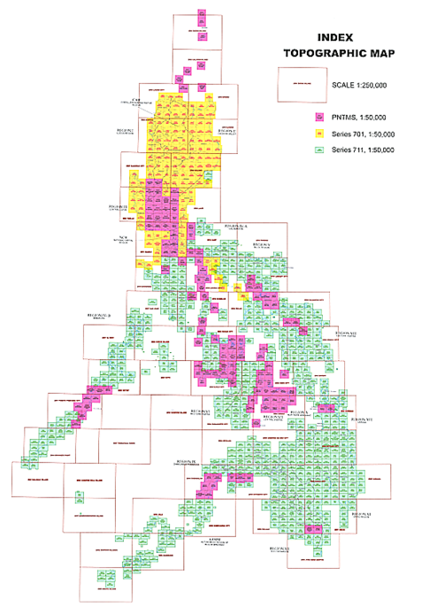
It’s been a while since I last used this one but here is the index of static 1:50,000 topo maps produced by the National Mapping Resource Information Authority (NAMRIA). Clicking the colored boxes will lead you to the scanned copy of the topo map covering the area. Then, you can do some georeferencing with the image for it to be used in GIS softwares. Since the website has done some updates on their design, I’m not sure until when we can access the link provided.
4. GIST Data Sets Philippines from UN-SPIDER (http://www.un-spider.org/story/gist-data-sets-philippines)
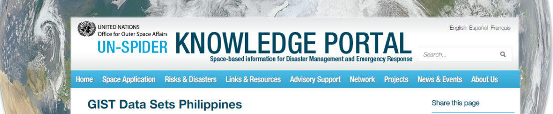
The UN Space-based Information for Disaster Management and Emergency Response (UN-SPIDER) has data holdings of different Philippine data sets. You must register first to be able to download the data.
—
So there. Did I miss anything? Comment below other sources of geo-information that you may know.
Until next post. ;D
earwin
